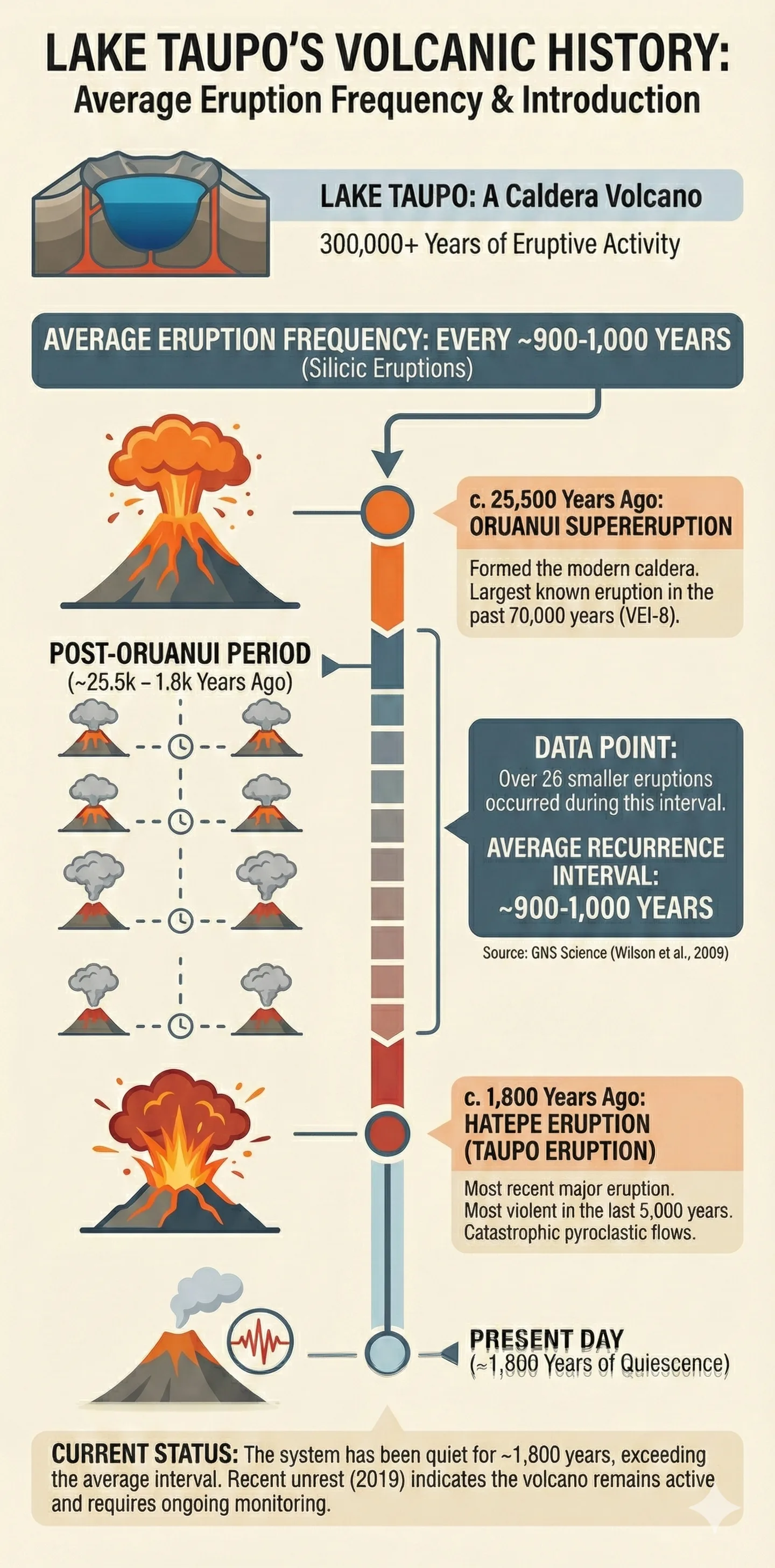
Lake Taupo Erupts Every 900-1000 Years on Average
Introduction to Lake Taupo's Volcanic History Lake Taupo, situated in the centre of New Zealand's North Island, is a stunning natural wonder that attracts
Tom covers travel, lifestyle, and cost-of-living topics across New Zealand. He writes practical guides on transport, day trips, outdoor activities, and everyday life in Aotearoa.
Introduction to Lake Taupo's Volcanic History
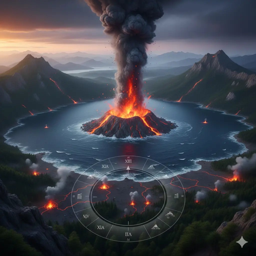
Lake Taupo, situated in the centre of New Zealand's North Island, is a stunning natural wonder that attracts millions of visitors each year. However, beneath its serene surface lies a powerful volcanic system that has shaped the surrounding landscape over thousands of years. As a New Zealander, you might be aware that Lake Taupo is a caldera, formed as a result of a massive volcanic eruption around 26,500 years ago. But did you know that Lake Taupo erupts every 900-1000 years on average? This article will delve into the fascinating world of Lake Taupo's volcanic history, exploring the science behind these eruptions and what you can expect.
The Lake Taupo region is part of the Taupo Volcanic Zone (TVZ), a 350km-long area of intense volcanic and geothermal activity that stretches from White Island in the northeast to Mount Ruapehu in the southwest. This zone is home to numerous volcanoes, geysers, and hot springs, making it a unique and dynamic environment. As you explore the Lake Taupo area, you'll notice the distinct landscape features that have been shaped by volcanic activity, including the lake itself, which is the largest freshwater lake in New Zealand.
If you're planning to visit Lake Taupo or live in the surrounding area, it's essential to understand the volcanic history and potential risks associated with this natural wonder. In this article, we'll provide you with practical information and actionable advice on how to stay safe and make the most of your experience in this incredible region. We'll also explore the science behind Lake Taupo's eruptions, including the warning signs and evacuation procedures in place to protect visitors and locals alike.
Understanding Lake Taupo's Volcanic System
To appreciate the complexity of Lake Taupo's volcanic system, it's crucial to understand the underlying geology. The lake is a caldera, formed when a massive volcano collapsed in on itself after a huge eruption. This collapse created a large depression, which was eventually filled with water to form the lake we see today. The volcanic system beneath Lake Taupo is characterized by a large magma chamber, which is a reservoir of molten rock that feeds the volcano. When the pressure in the magma chamber becomes too great, it can lead to an eruption.
The Taupo Volcanic Zone is a rift zone, where the Earth's crust is being stretched and thinned. This process allows magma to rise to the surface, producing volcanic eruptions. The TVZ is also home to several fault lines, which can trigger earthquakes and further increase the likelihood of an eruption. By understanding these geological processes, you can better appreciate the dynamic nature of the Lake Taupo region and the potential risks associated with it.
Key Factors Contributing to Eruptions
Several factors contribute to the likelihood of an eruption at Lake Taupo, including:
- Magma buildup: As magma accumulates in the chamber, the pressure increases, making an eruption more likely.
- Ground deformation: Changes in the shape of the Earth's surface, such as inflation or deflation, can indicate increased pressure in the magma chamber.
- Seismic activity: Earthquakes can trigger an eruption by releasing pressure in the magma chamber or by creating new pathways for magma to rise to the surface.
- Gas emissions: Increased gas emissions, such as carbon dioxide and sulfur dioxide, can signal an impending eruption.
Monitoring Volcanic Activity
The Lake Taupo region is closely monitored by GeoNet, a collaboration between the Earthquake Commission and GNS Science. GeoNet uses a range of techniques to track volcanic activity, including:
- Seismic monitoring: A network of seismometers detects earthquakes and tremors in the region.
- Gas monitoring: Scientists measure gas emissions from the lake and surrounding vents.
- Ground deformation monitoring: GPS and tiltmeters track changes in the shape of the Earth's surface.
- Lake level monitoring: The water level of Lake Taupo is closely watched for any signs of unusual activity.
By monitoring these factors, scientists can provide early warnings of increased volcanic activity, allowing for evacuation procedures to be put in place if necessary. As a visitor or resident in the Lake Taupo area, it's essential to stay informed about the current volcanic activity and follow any instructions from local authorities.
Preparing for an Eruption
While the likelihood of an eruption at Lake Taupo is difficult to predict, it's crucial to be prepared. Here are some steps you can take:
- Stay informed: Keep up-to-date with the latest news and updates from GeoNet and local authorities.
- Have a plan: Develop a family emergency plan, including a evacuation route and a meeting point.
- Be prepared: Make sure you have a disaster supply kit, including essentials like food, water, and a first aid kit.
- Know the warning signs: Be aware of the warning signs of an eruption, such as increased seismic activity, gas emissions, and changes in the lake's water level.
Evacuation Procedures
In the event of an eruption, evacuation procedures will be put in place to protect visitors and locals. It's essential to follow these procedures and stay calm. Here are some key things to remember:
- Follow evacuation routes: Stick to designated evacuation routes, which will be clearly signposted.
- Stay away from the lake: Avoid the lake and surrounding areas, as they may be affected by pyroclastic flows, lahars, or ashfall.
- Keep phone lines open: Only use your phone for essential calls, as phone lines may be congested during an emergency.
Staying Safe in the Lake Taupo Region
While the risk of an eruption at Lake Taupo is present, it's essential to remember that the region is still a beautiful and safe place to visit. By taking some simple precautions and staying informed, you can minimize your risk and enjoy all that the area has to offer. Here are some tips for staying safe:
- Check the weather: Be aware of the weather forecast, as heavy rain or strong winds can increase the risk of lahars or ashfall.
- Avoid restricted areas: Stay out of restricted areas, such as those around geothermal vents or areas with high gas emissions.
- Follow guidelines: Follow guidelines and instructions from local authorities, such as those related to water quality or air quality.
Conclusion and Key Takeaways
Lake Taupo's volcanic history is a fascinating and complex topic, and by understanding the science behind these eruptions, you can better appreciate the dynamic nature of this incredible region. As a visitor or resident in the Lake Taupo area, it's essential to stay informed and be prepared for any eventuality. Here are the key takeaways from this article:
- Lake Taupo erupts every 900-1000 years on average, with the last major eruption occurring around 180 AD.
- The Taupo Volcanic Zone is a rift zone, characterized by a large magma chamber and several fault lines.
- Monitoring volcanic activity is crucial, with GeoNet using a range of techniques to track seismic activity, gas emissions, and ground deformation.
- Preparation is key, with steps including staying informed, having a plan, being prepared, and knowing the warning signs of an eruption.
- In the event of an eruption, evacuation procedures will be put in place, and it's essential to follow these procedures and stay calm.
By following these guidelines and staying informed, you can enjoy all that the Lake Taupo region has to offer while minimizing your risk. Remember to respect the power of nature and take the necessary precautions to stay safe in this incredible and dynamic environment.
Related Articles
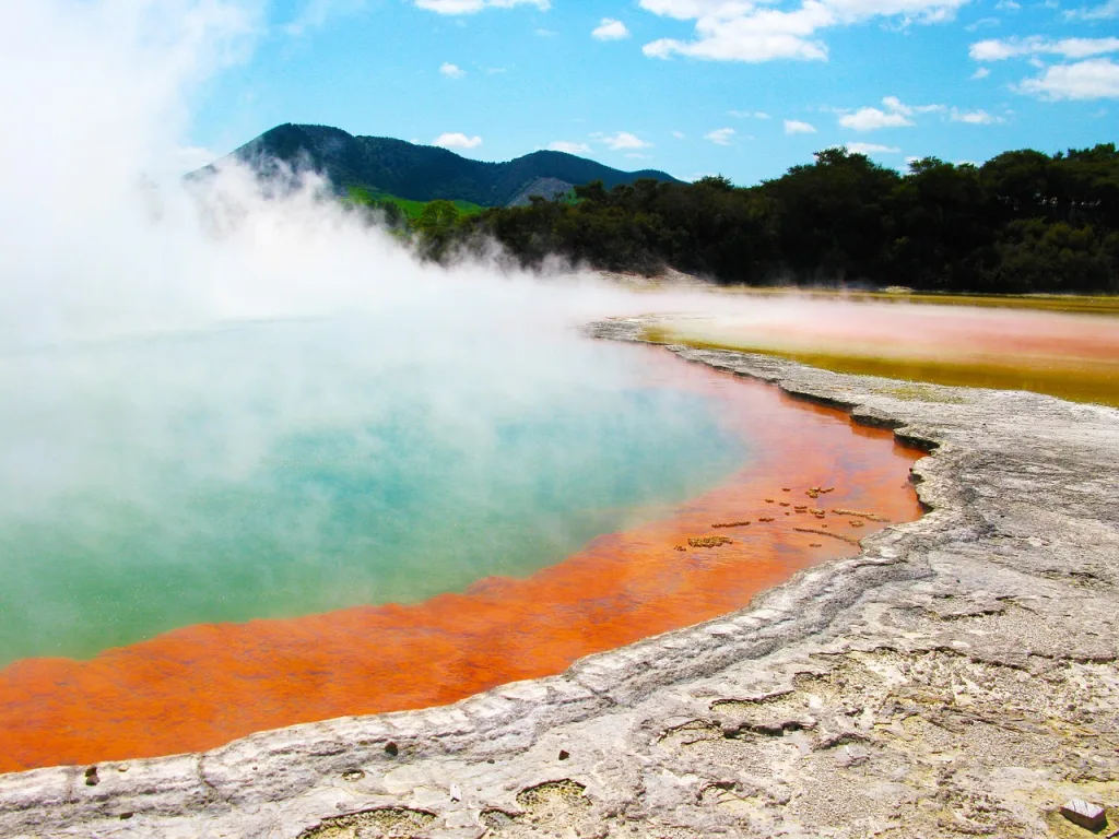
Champagne Pool Is 74°C and Effervesces Carbon Dioxide
Introduction to Champagne Pool Nestled in the heart of New Zealand's North Island, Wai-O-Tapu is a geothermal wonderland that showcases the country's uniqu
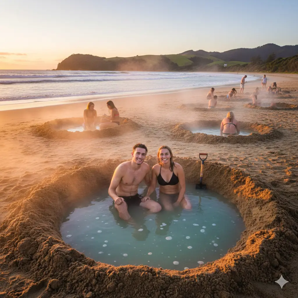
New Zealand Has Hot Water Beaches You Can Dig Your Own Spa
Introduction to New Zealand's Hot Water Beaches New Zealand is renowned for its stunning natural beauty, from the rugged mountains to the pristine beaches.

New Zealand Experiences About 15,000 Earthquakes Per Year
Introduction to New Zealand's Earthquakes New Zealand is a beautiful country, known for its stunning landscapes and unique geological features. However, i
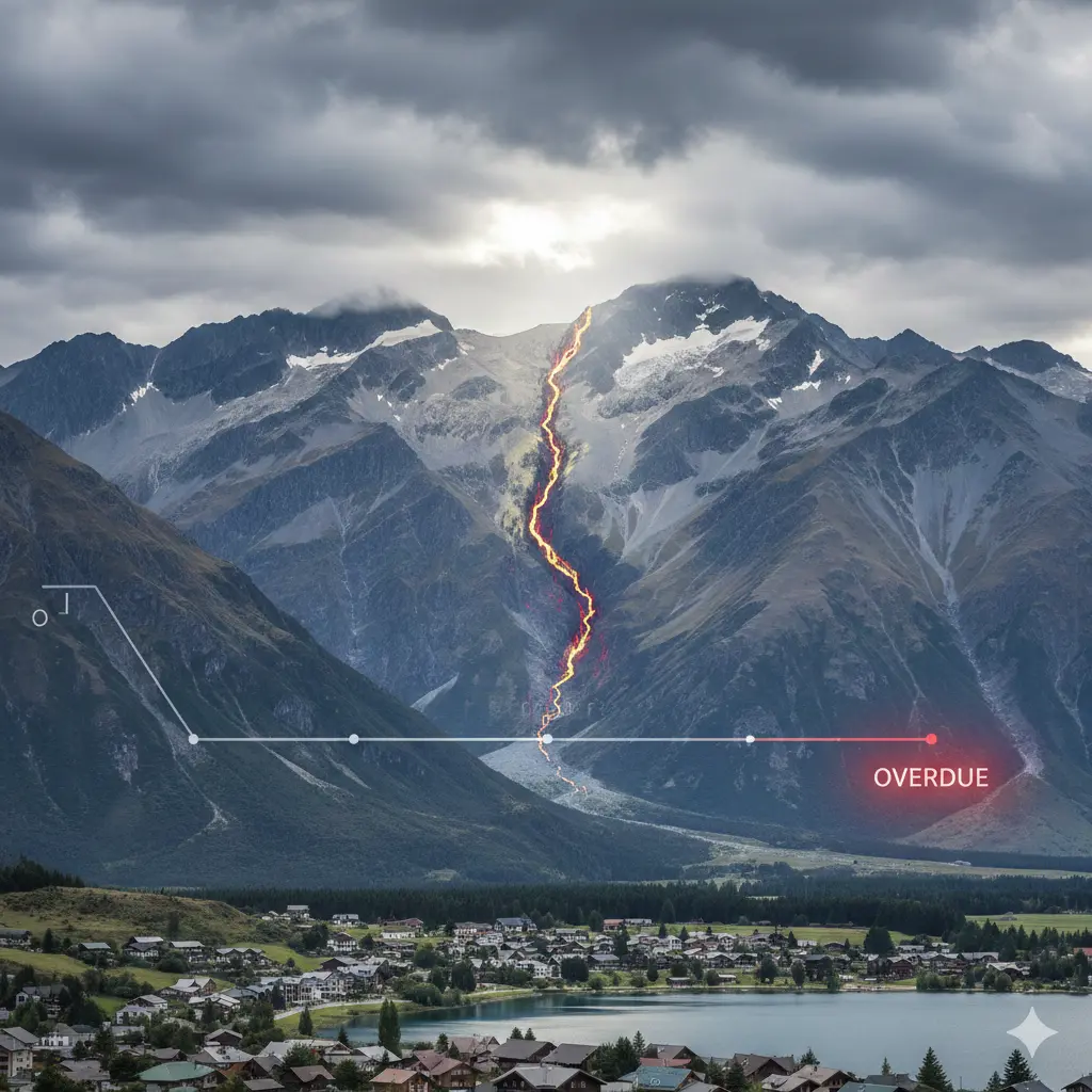
The Alpine Fault Is Overdue for a Major Earthquake
Introduction to the Alpine Fault The Alpine Fault is a significant geological feature that runs for over 850 kilometres along the western edge of the South